Toprecommended route
Difficulty
T2
difficult
Stage 3
Distance
13.8 km
Duration
5:40 h
Ascent
952 m
Descent
812 m
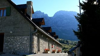
Stage no. 3 of the MADE Trek route is part of a cross-border itinerary of 200 km that runs along the Carnic Ridge at altitude, connecting Italian ...