TopPercorso consigliato
Difficoltà
T2
difficile
Tappa 2
Distanza
20,6 km
Durata
8:15 h
Salita
1.036 m
Discesa
1.823 m
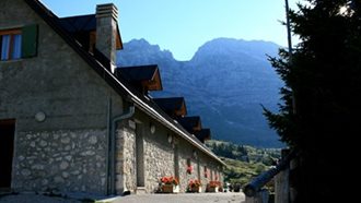
La tappa n.2 del percorso MADE Trek è parte di un itinerario transfrontaliero di 200 km che percorre in quota la Dorsale Carnica collegando malghe ...